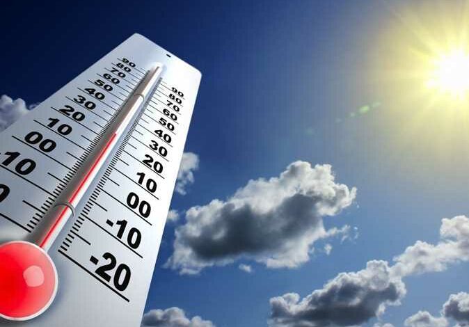
The Egyptian Meteorological Authority has revealed in an urgent statement its forecast for the expected weather, with the latest satellite images indicating the formation of medium clouds over the northern regions of the country, possibly accompanied by rainfall, and northerly wind activity across most areas, resulting in cold daytime conditions and severely cold nights.
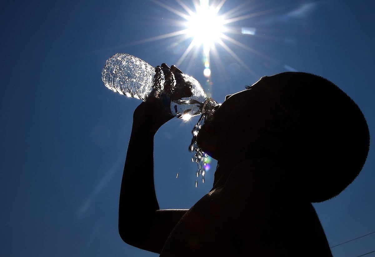
Temperatures are expected to drop by values ranging from (3-4) degrees across most regions, with the expected maximum temperature today in Greater Cairo recorded at 17 degrees, while the northern coasts will record 15 degrees.
Weather maps predict light to moderate rainfall in areas of the northeastern coasts, extending lightly to areas of the northwestern coasts and northern Lower Egypt, with wind activity across most regions.
Weather improvement time
The cold wave and low temperatures are expected to continue until next Thursday, with weather conditions improving starting from Friday, February 28, 2025.
The Meteorological Authority revealed a forecast of maritime navigation disruption tomorrow on the coasts of (Matrouh-Alexandria-Kafr El-Sheikh-Beheira), with wave heights reaching (3-4 meters), resulting in prevailing winter conditions.