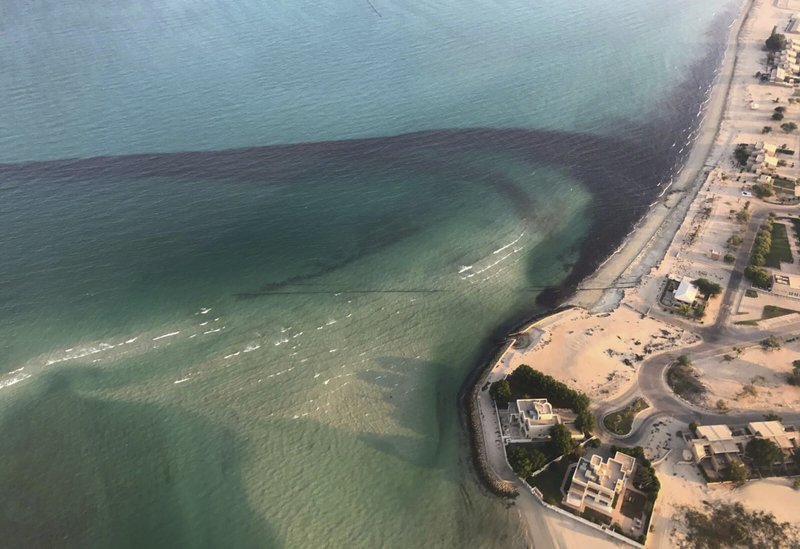
An analysis of satellite imagery by a US-based nonprofit organization suggests at least 34,000 barrels of oil have leaked out during a spill off the coast of Kuwait.
West Virginia-based SkyTruth says satellite photos from the day of the spill off southern Kuwait show it spread over a distance covering 131 square kilometers (50.5 square miles).
In a blog post early Wednesday, SkyTruth also noted a pipe-laying ship was transiting through the area at the time of the spill. Authorities have yet to definitively identify the source of the leak, though they initially suspected it came from a tanker.
The leak was discovered on Friday.
Authorities in tiny Kuwait, an OPEC member home to the world’s six-largest estimated oil reserves, said they discovered another leak on Tuesday.


