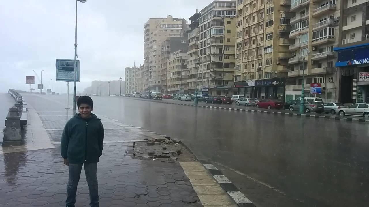
The Egyptian Meteorological Authority (EMA) has announced that the latest satellite images showcase the spread of low and medium clouds accompanied by varying intensities of rainfall across the northern regions of the country, extending to Greater Cairo.
The EMA has warned of a cold wave affecting the country starting tomorrow, Friday, due to the country’s influence by an extension of a low-pressure system in the upper atmospheric layers, accompanied by strong cooling – in addition to cold northern air masses coming from southeastern Europe across the Mediterranean Sea.
The authority revealed in its official statement a noticeable drop in temperatures, with the maximum temperature in Greater Cairo recording 16C during the day, while the minimum temperature at night reaches eight degrees Celsius.
The cities and governorates of Upper Egypt will record temperatures reaching five degrees Celsius during the night.
Weather fluctuations
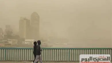
Satellite images show heightened wind activity during this period, which may led citizens to feel temperatures lower than those actually recorded.
Though the chances of rainfall are weak, the cold wave may still impact maritime navigation.
The Meteorological Authority advised citizens to continue wearing heavy winter clothing, especially during the night and early morning hours.
It also emphasized the importance of wearing masks when going out, especially for those suffering from chest and sinus allergies, and avoiding approaching trees, dilapidated buildings, light poles, and metal billboards during periods of wind activity.
In its official statement, it called on citizens to follow weather bulletins regularly to stay informed of any updates on the weather conditions in the coming days